Welcome to Wadeye

Quick Access

Stylized bird in flight, dark gray with cream and brown patterned markings, white eye, orange beak.

History

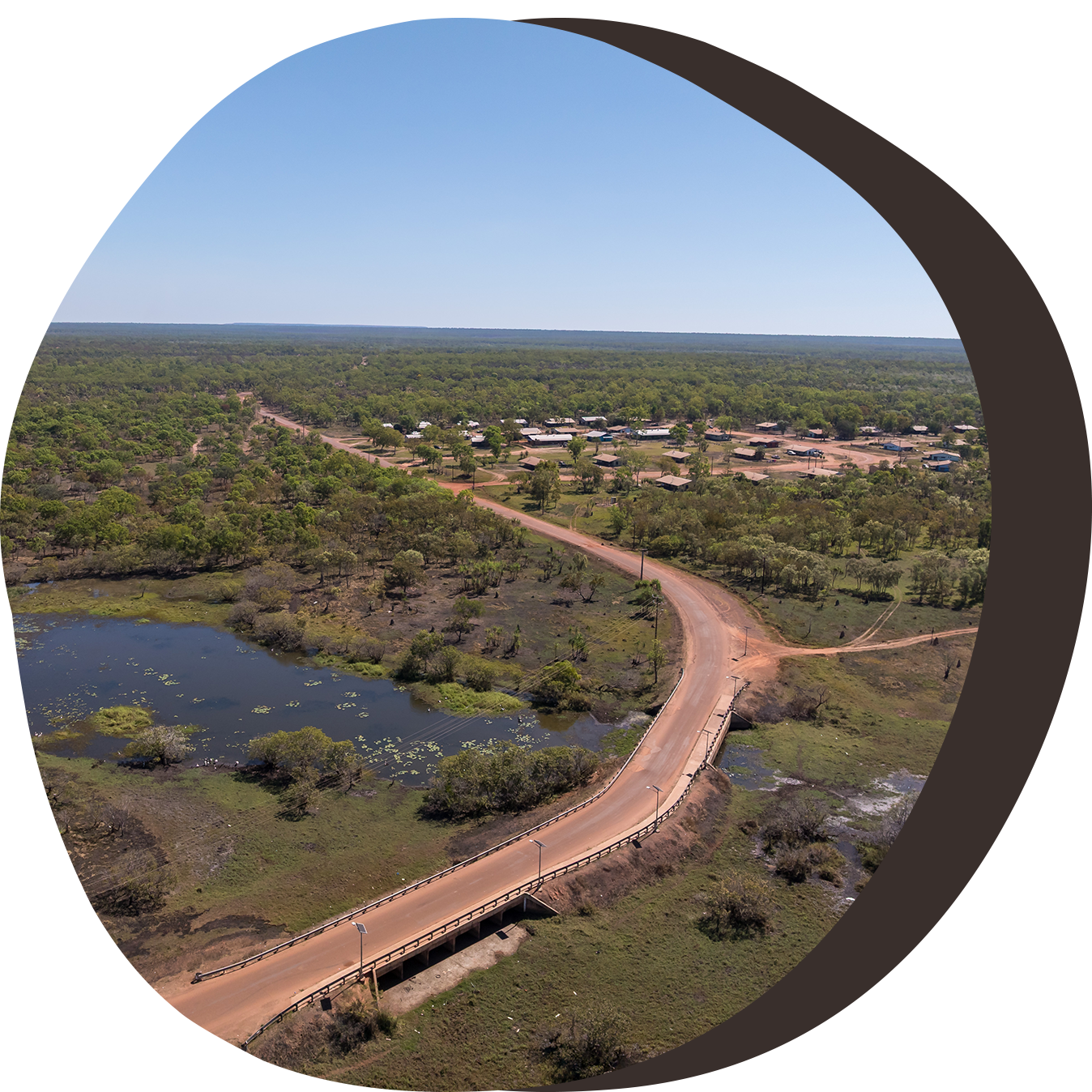
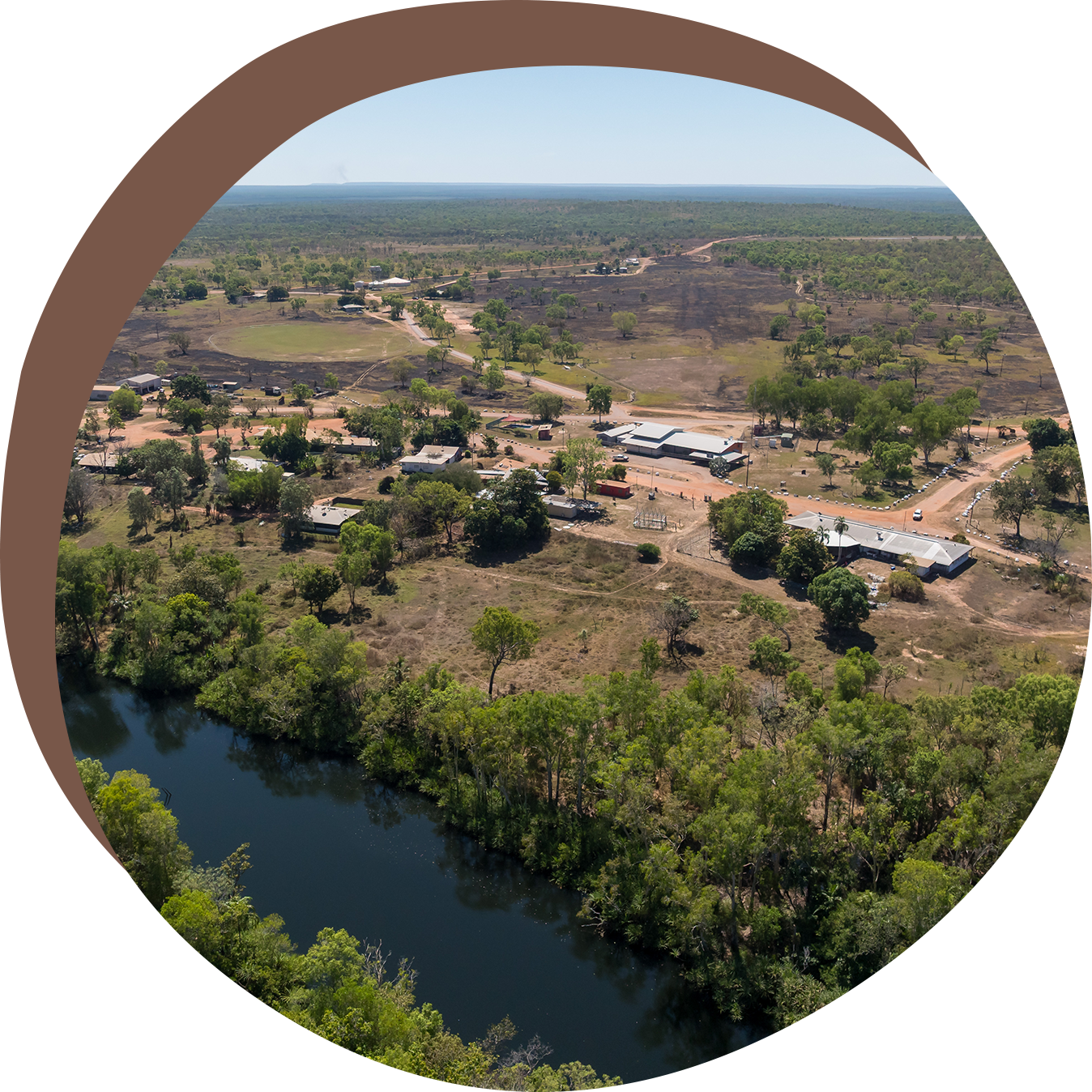
Originally founded as a Roman Catholic mission station by Father Richard Docherty in 1935 at Werntek Nganayi (Old Mission), Wadeye was later relocated 14 kilometres inland to its current site. The township was formerly known as Port Keats, a name still used by some residents and visitors today.


The mission quickly became a central gathering place for surrounding tribes. However, limited space and resources led to conflict among groups seeking to join. Father Docherty had to restrict entry until the mission’s facilities and gardens could sustain more people.


Over time, the mission became home to people from seven language groups and more than 20 clans. The Australian Government managed the mission until the late 1970s, when local governance was transferred to the Kardu Numida Council in 1978. It was then that the community was officially renamed Wadeye.

Population

According to the 2021 Census, Wadeye has a population of approximately 2,259 people, with 89% identifying as Aboriginal or Torres Strait Islander.

Language

The main language spoken in Wadeye is Murrinh Patha, which is widely understood across the community.

Other languages include:

Marri Ngarr • Magati Ke • Marri Tjevin • Marri Amu • Marrithiyel • Manthiyangarl

Accessibility

Wadeye is located around 420 kilometres south-west of Darwin.

Black SUV icon.

The community is accessed via Daly River Road, which becomes unsealed after the Daly River crossing and is open to 4WD vehicles only during the Dry Season (May–October).

Black cloud with rain drops.

During the Wet Season (November–April), access is limited to light aircraft (daily) or coastal barge (weekly).

Airplane landing on a runway.

The Wadeye airstrip is sealed and operational year-round, featuring automated lighting to allow night landings.

Black airplane taking off.

Flying time from Darwin to Wadeye is approximately 45 minutes.

Our Services

Wadeye provides a range of municipal and community services, including

Our Services

Wadeye provides a range of municipal and community services, including:

Stylized dark scorpion with white and brown detailing.


Curved black arrow pointing right.

Parks, open spaces and sports ground upkeep

Curved arrow pointing right.

Licensed Post Office


Curved black arrow pointing to the right.

Waste management


Black, curved arrow pointing right.

Local road maintenance and upgrades


Curved arrow pointing right.

Mechanical workshop


Curved black arrow pointing right.

Library, Wi-Fi and cultural heritage services


Curved black arrow pointing to the right.

Weed control and fire hazard reduction

Curved black arrow pointing to the right.

Cemetery maintenance


Curved black arrow pointing to the right.

Visitor accommodation

Black curved arrow pointing right.

Community swimming pool


Black curved arrow pointing right.

Community safety patrol


Curved arrow pointing right.

Animal welfare and control


Black curved arrow pointing right.

Public lighting and streetlights for safety


Other Services

  • Police Station
  • Remote Health Clinic
  • Community Store and Retail Shop
  • Centrelink Services
  • Aged Care
  • School, Crèche and Boarding Facilities
  • Sport and Recreation Facilities
  • Safe House
  • Museum
  • Visitor Accommodation and Takeaway
Sunset over a vast, forested landscape. The sun sits low on the horizon, casting golden light across green bushland.

Visiting Wadeye

All visitors to Wadeye are required to obtain a permit from the Northern Land Council (NLC).

The permit system helps to:


  • Protect the privacy of Aboriginal communities
  • Preserve cultural heritage and practices
  • Safeguard the natural environment
  • Ensure visitor safety and respect for local customs

For more information or to apply for a permit, please visit the Northern Land Council website.

Explore our other Communities

Stylized gray and brown dolphin illustration with tribal art accents.
Aerial view of a road leading to a small town surrounded by green trees and wetlands under a blue sky.

Palumpa

Aerial view of a settlement near a river, surrounded by dry terrain and trees under a clear blue sky.

Peppimenarti

Coastal aerial view of a sandy beach bordered by turquoise water and lush green mangroves.

Homelands