Welcome to Palumpa (Nganmarriyanga)

Quick Access

Stylized bird illustration in orange, tan, and gray, with Aboriginal art-style patterns.

History

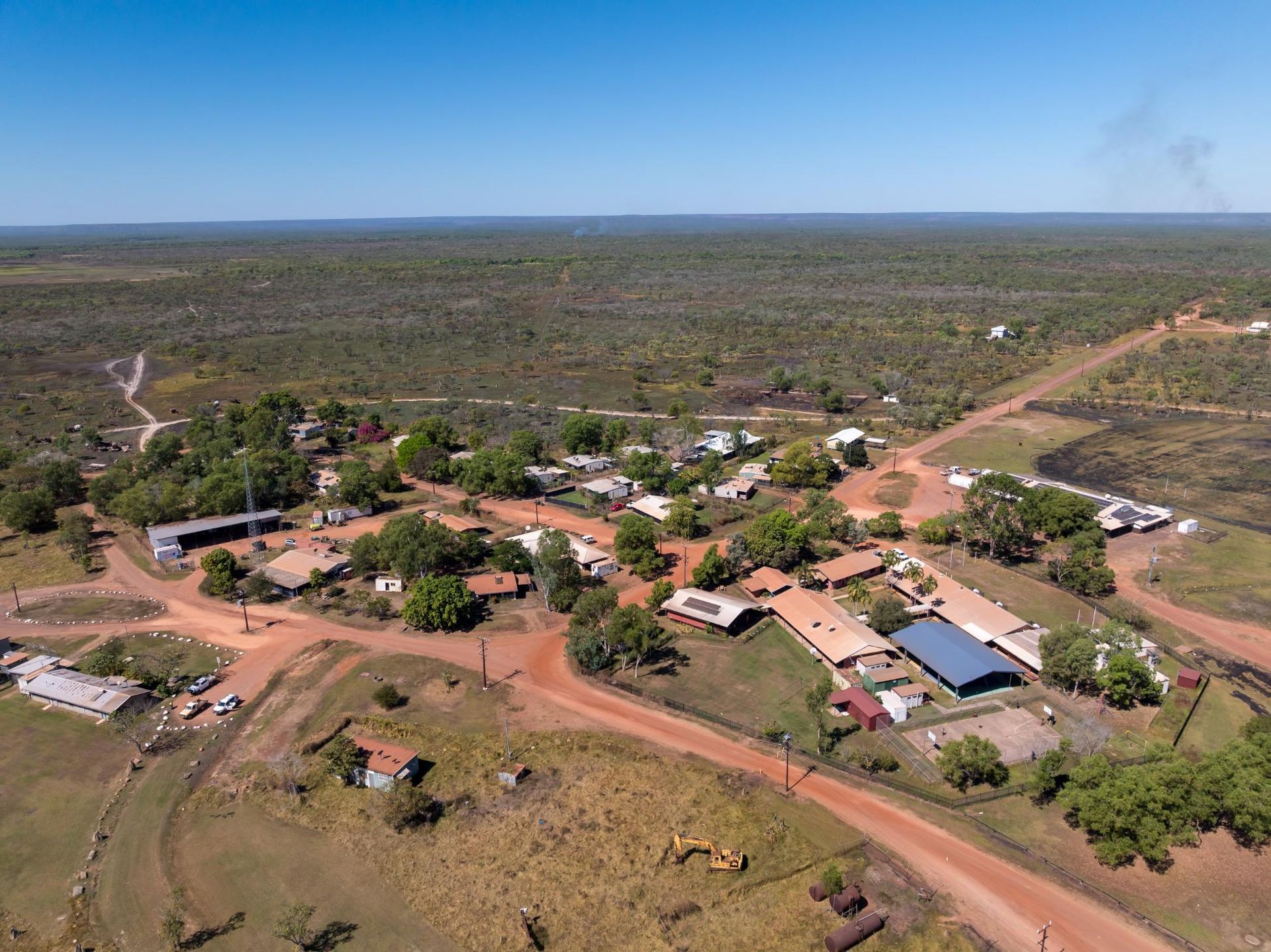
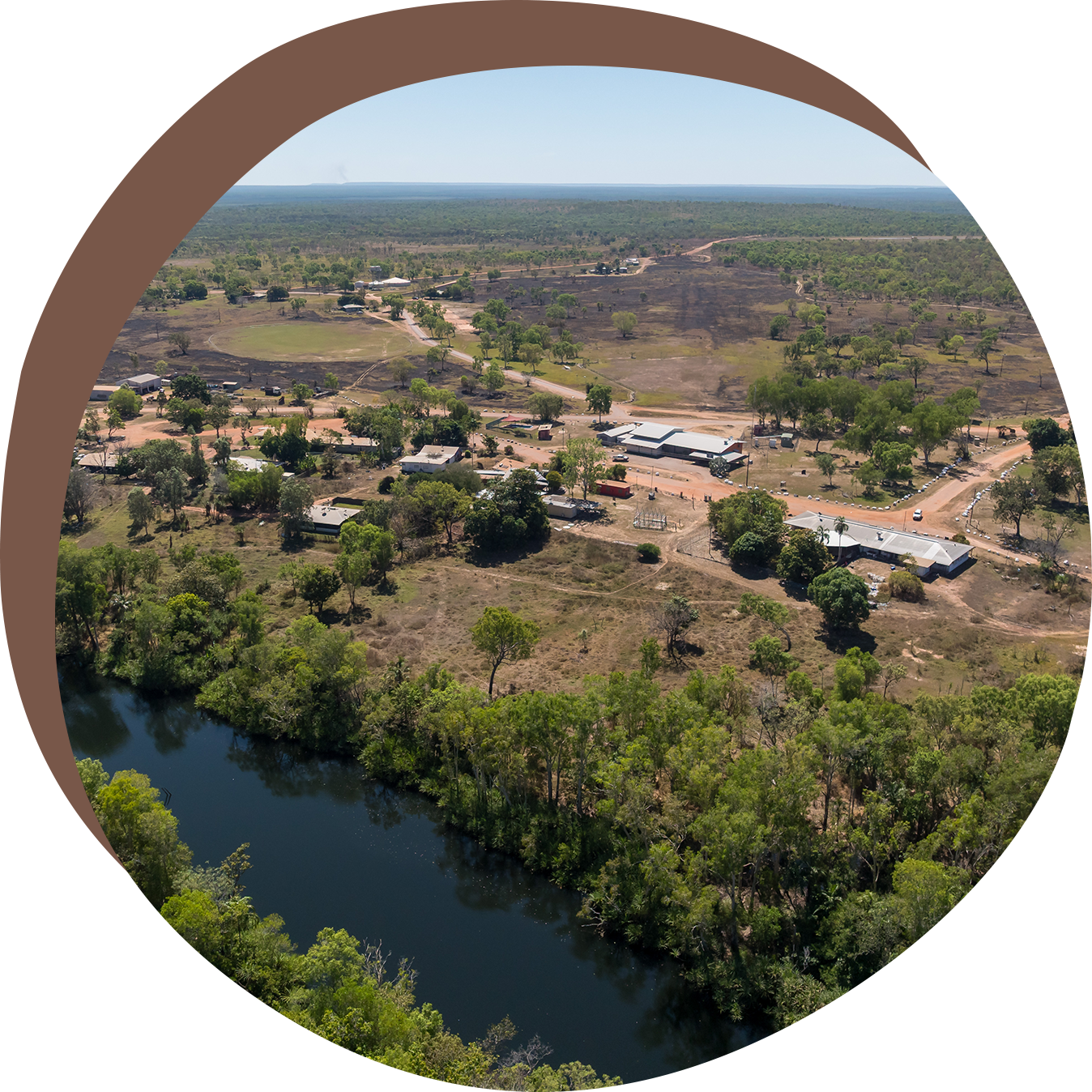
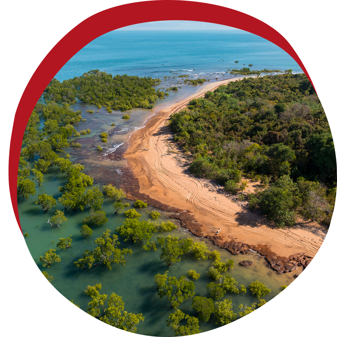
Nganmarriyanga (pronounced Nan-marri-yanga or None-murray-yunga) was founded by the Wodidj family.


Before World War II, the Wodidj family left their Country as the men sought work on cattle stations in northern Western Australia. After the war, they returned to the Port Keats Mission (now Wadeye) but knew their father’s Country was located some distance away.


The family later moved back to that area and began to establish a new community, which became known as Palumpa.

Population

Based on the 2021 Census, Palumpa has a population of approximately 427 people, with 95% identifying as Aboriginal or Torres Strait Islander.

Language

The primary language spoken and understood in Palumpa is Murrinh Patha.

Accessibility

Palumpa is located 353 kilometres south-west of Darwin, along Port Keats Road, between the communities of Peppimenarti and Wadeye.

Black icon of a 4x4 vehicle.

The Palumpa access road is unsealed and approximately 140 kilometres from the Daly River bridge.

Cloud with raindrops, indicating rain.

Roads can become impassable during the Wet Season due to flooding, sometimes for up to seven months in extreme years.

Airplane landing on a runway.

Palumpa is accessible by air for most of the year, though the airstrip and access road may be closed during severe weather or heavy flooding.

Our Services

Wadeye provides a range of municipal and community services, including

Our Services

Palumpa provides a range of municipal and community services, including:


Curved black arrow pointing to the right.

Cemetery maintenance

Black curved arrow pointing right.

Parks, open spaces and sports ground maintenance


Curved black arrow pointing to the right.

Waste management


Curved black arrow pointing right.

Post Office Agency


Curved arrow pointing right.

Centrelink Services


Curved black arrow pointing right.

Weed control and fire hazard reduction


Black, curved arrow pointing right.

Visitor accommodation


Black curved arrow pointing right.

Community safety patrol


Curved black arrow pointing to the right.

Community safety patrol

Curved black arrow pointing to the right.

Animal welfare and control


Curved black arrow pointing to the right.

Local road maintenance, upgrades and construction


Curved black arrow pointing to the right.

Street and public lighting for safety


Other Services

  • Police Station
  • Remote Health Clinic
  • Community Store
  • School and Crèche
  • TDC and Women’s Centre
Aerial view of a small rural town with red dirt roads and low buildings surrounded by green trees under a blue sky.

Visiting Palumpa

All visitors to Palumpa are required to obtain a permit from the Northern Land Council (NLC).

The permit system helps to:


  • Protect the privacy of Aboriginal communities
  • Preserve culture and heritage
  • Safeguard the natural environment
  • Promote visitor safety and respect for local customs

For more information or to apply for a permit, please visit the Northern Land Council website.

Explore our other Communities

Stylized dark scorpion with cream and brown accents.
Aerial view of a settlement near a dark river, surrounded by trees and a dry landscape under a blue sky.

Peppimenarti

Coastal aerial view: sandy beach separating ocean and lush green vegetation; red arc in the background.

Homelands